


 |
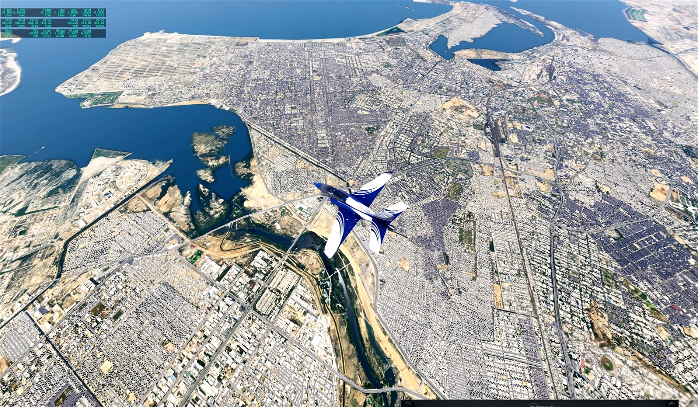
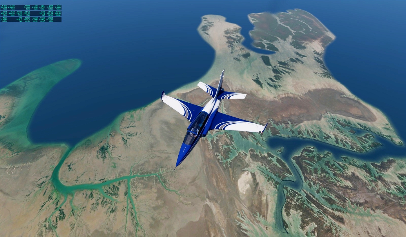
| Ortho Karachi Pakistan Part I southeast and southwest
Ortho for Karachi.
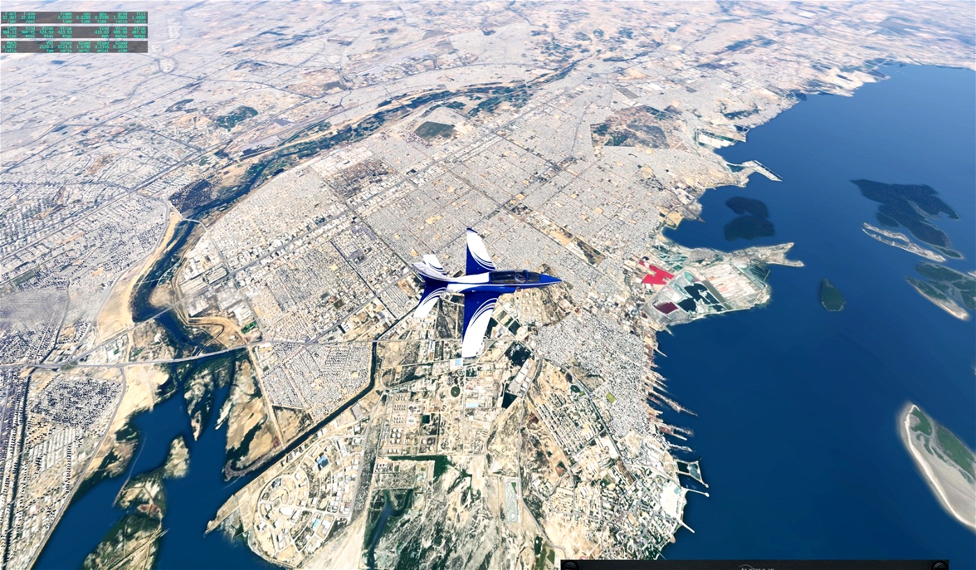
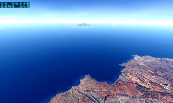
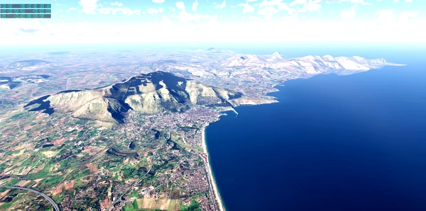
The capital of Pakistan until 1959. Karachi is one of the largest cities in the world. The city is an economic, commercial and production center, transport hub, cultural center with numerous universities, colleges, research institutes, museums, galleries and monuments as well as the largest port in the country. One of the most important sights is Mazar-e-Quaid, the mausoleum of the founder of Pakistan, Muhammad Ali Jinnah (1876-1948), who was born and buried in the city.
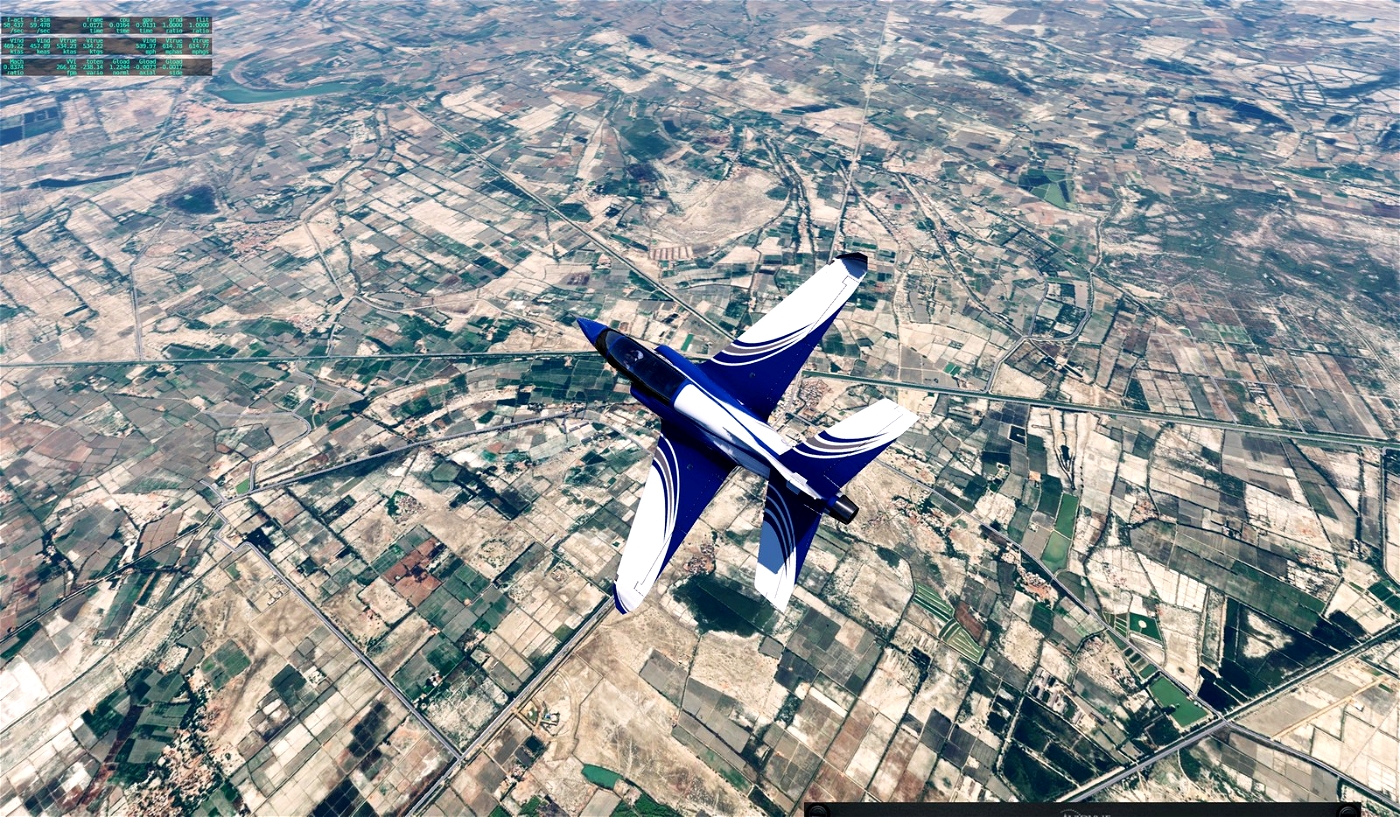
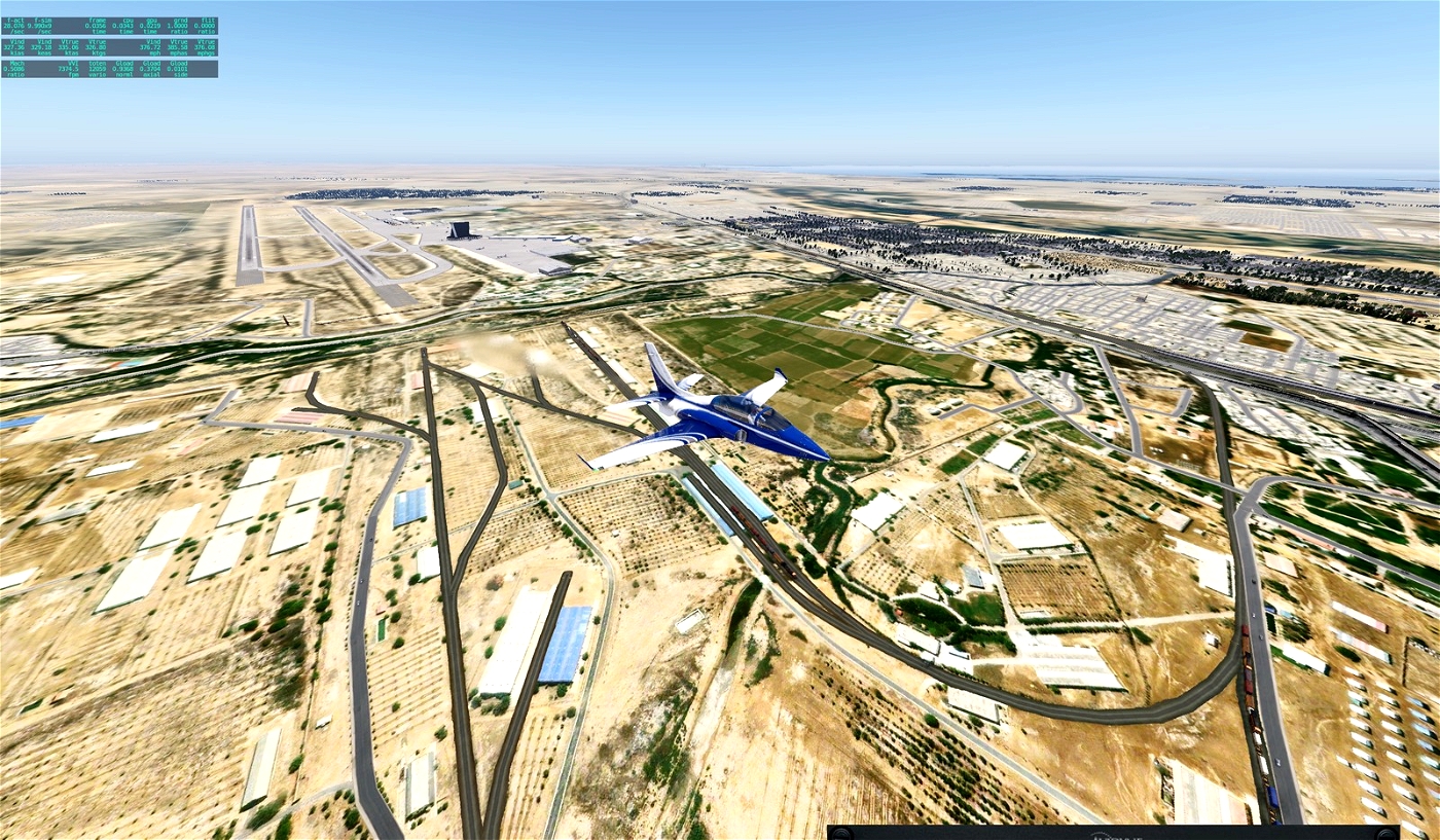
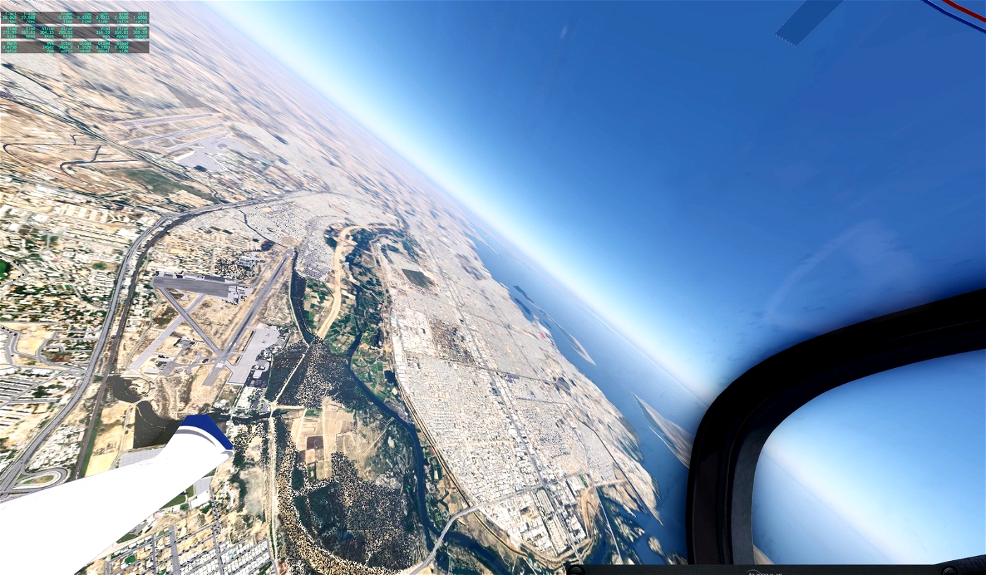
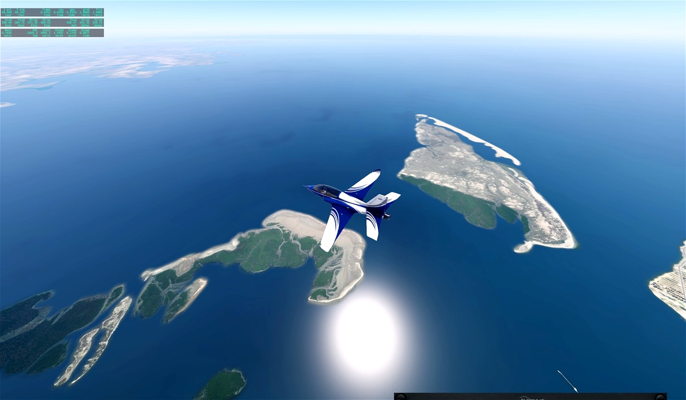
Here are the first two zones of the Karachi region. Karachi southwest and southeast. The other parts are provided in separate downloads.
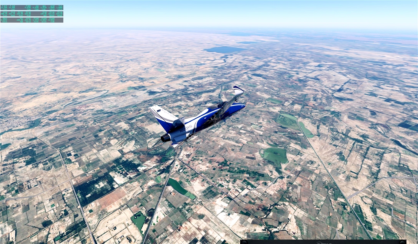
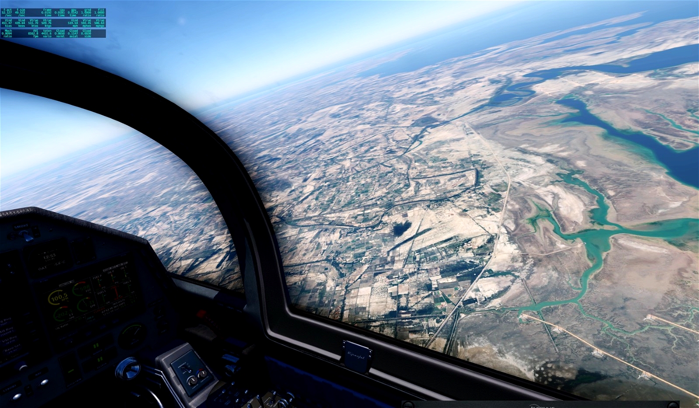
The basic resolution is ZL16 to somehow bring the file to the limit of max. 4 GB. However, around the airports this is higher ZL19/ZL18 and decreases with increasing distance. The approach lanes offer high resolution for a slightly longer time.
I highly recommend using Sim Heaven.
Of course, these files are not only for Umar, who specifically asked for orthos for this region, but for everyone who wants to discover the interesting landscape of Pakistan.
I used Ortho4XP and images from Arcgisonline.
Have fun!
If you make me happy, post a few pictures of your flight over Karachi.
Gruß Andreas


Umar_Wali34
Perfect.
Andreas1975 12 month(s) ago
Thank you very much.