


 |
| Discover مسقط
Muscat
Maskat!
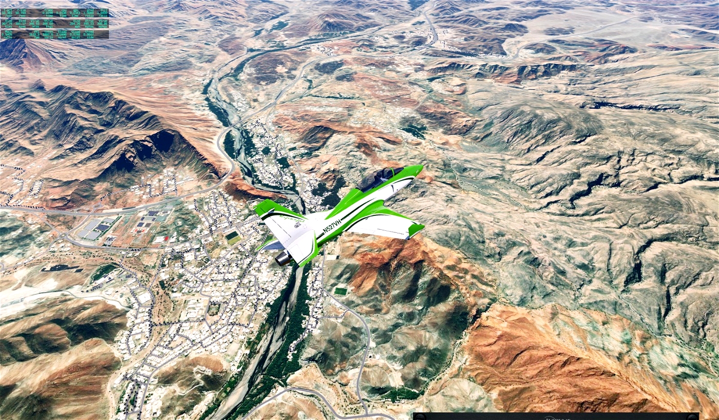
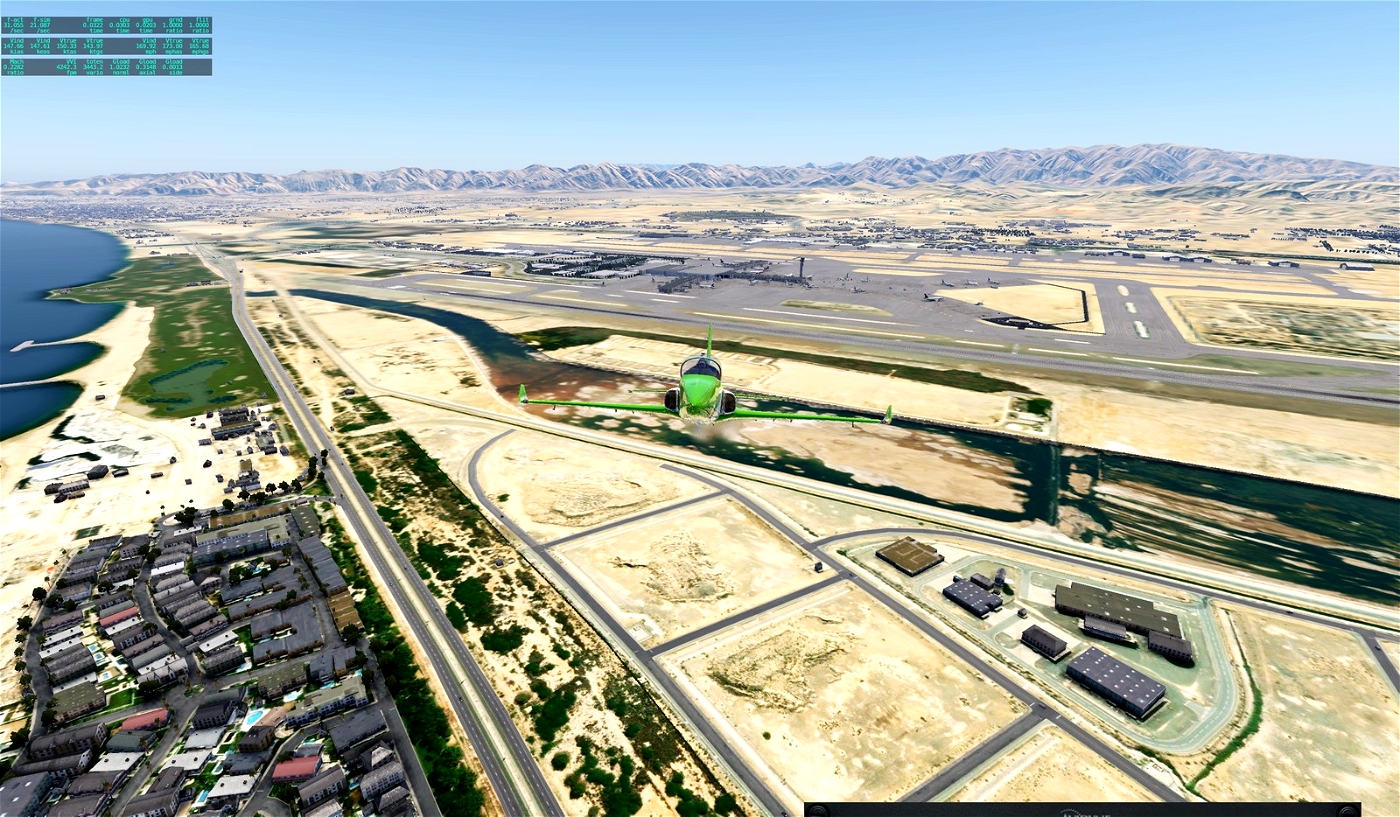
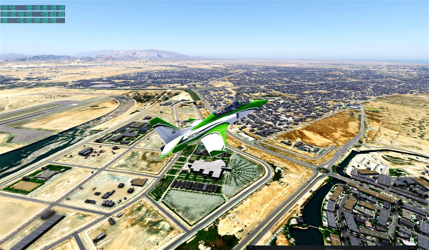
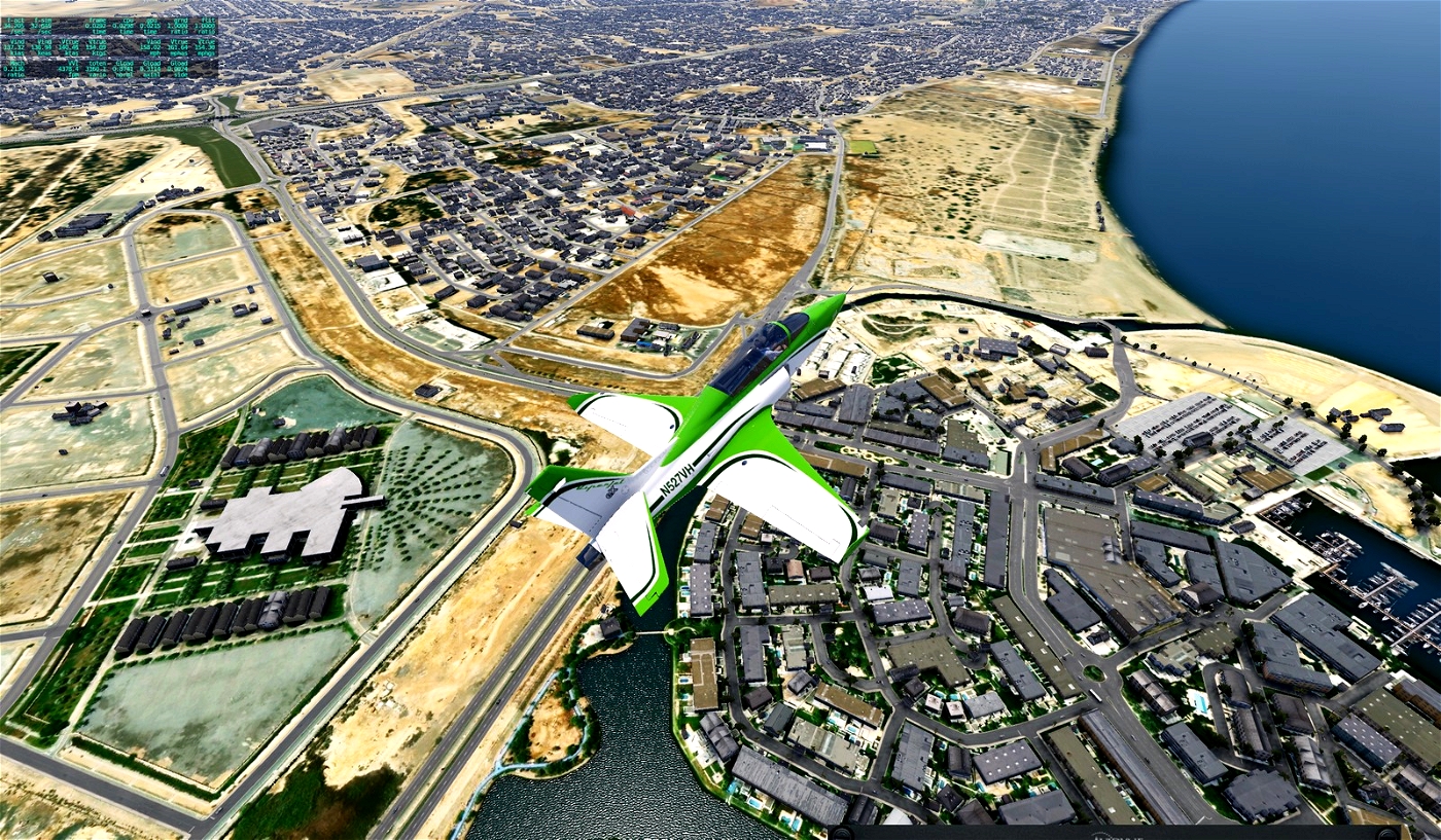
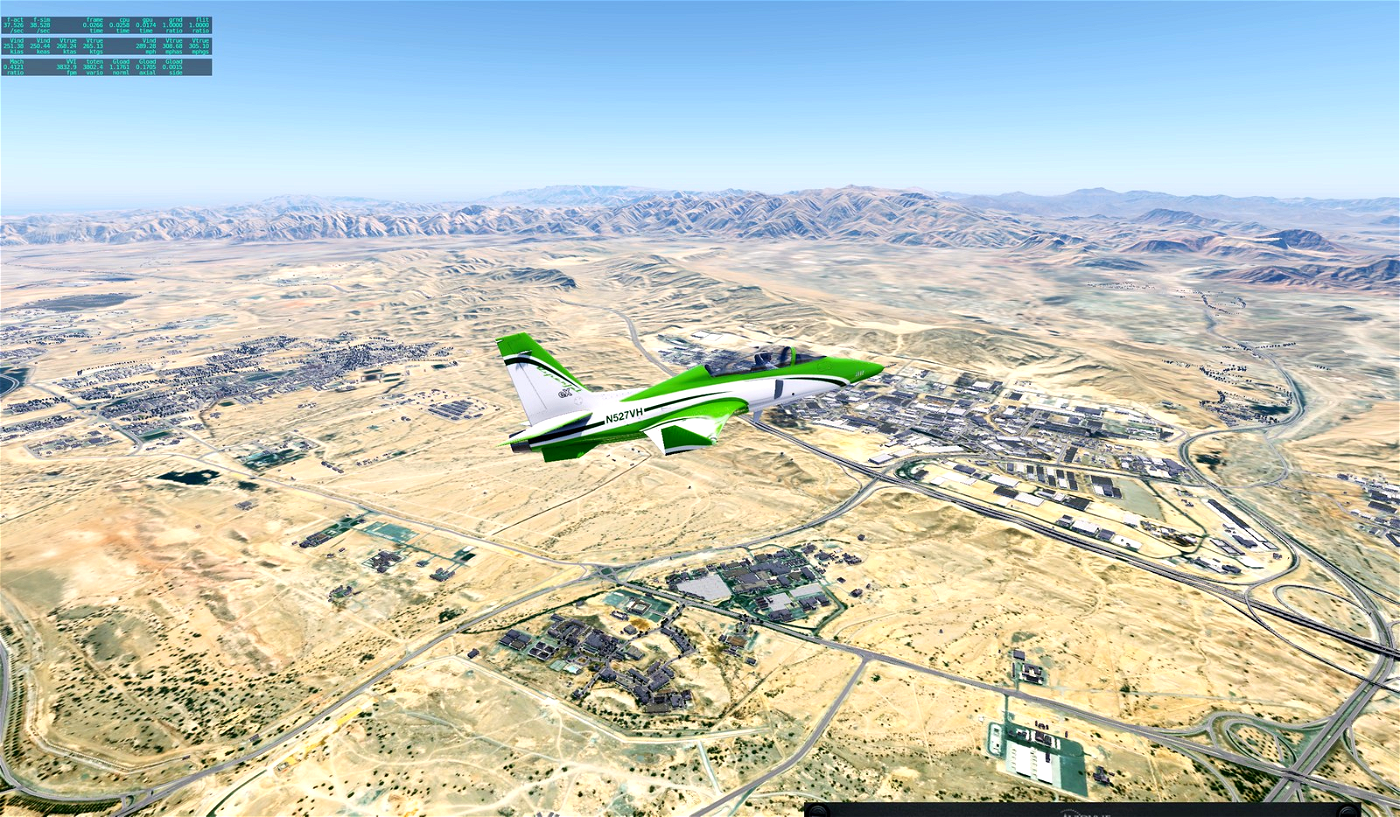
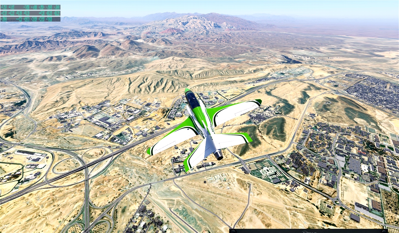
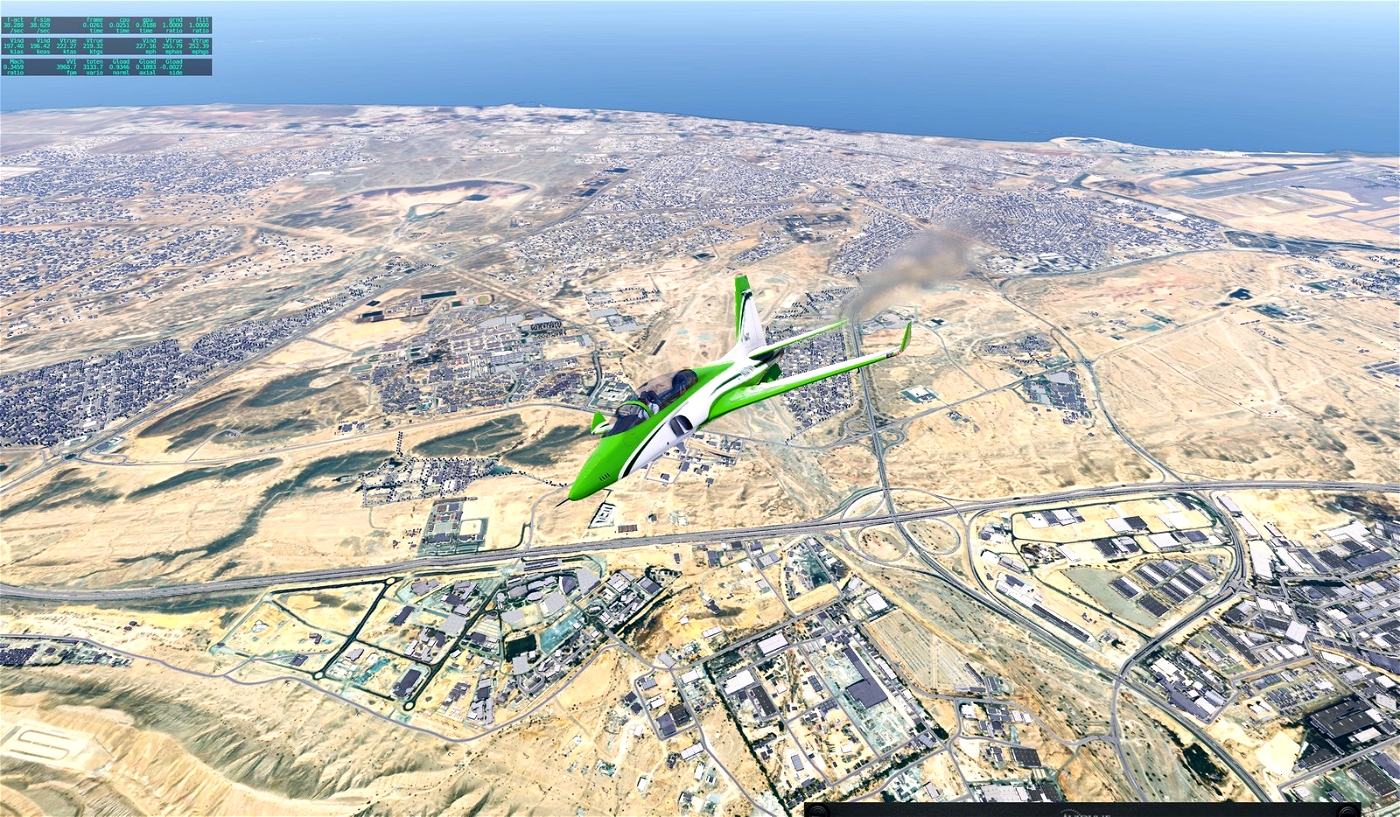
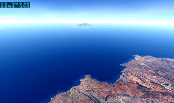
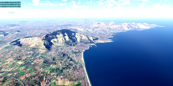
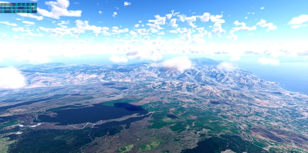
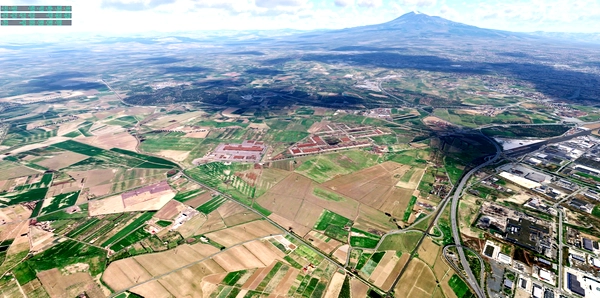
Orthophoto Muskat Oman
The basic resolution is ZL16 to somehow bring the file to the limit of max. 4 GB. However, around the airports this is higher ZL18 and decreases with increasing distance. The approach lanes offer high resolution for a slightly longer time.
I highly recommend using Sim Heaven.
I used Ortho4XP and images from Arcgisonline.
Have fun!
If you make me happy, post a few pictures of your flight over Mascat.
Gruß Andreas
MUSCAT INTL (OOMS)
MUSCAT-SEEB (114.50 MCT)
GPS N23°36.24' E58°16.94'


Be the first to comment.