


 |
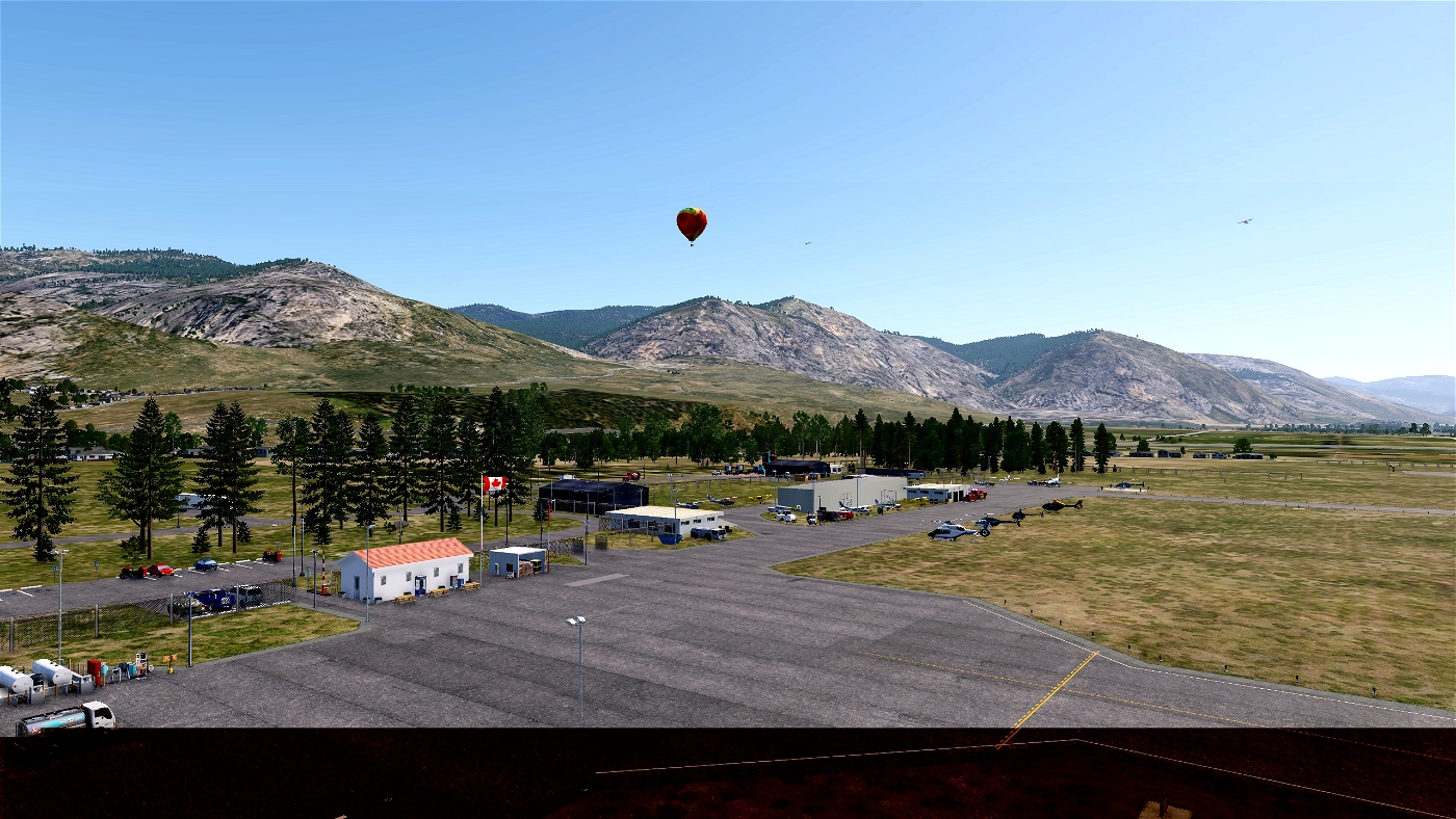
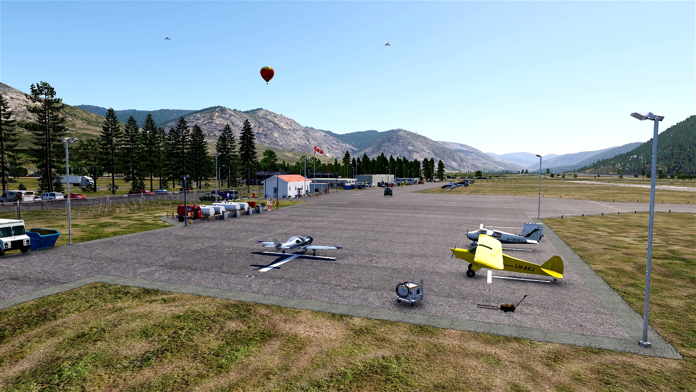
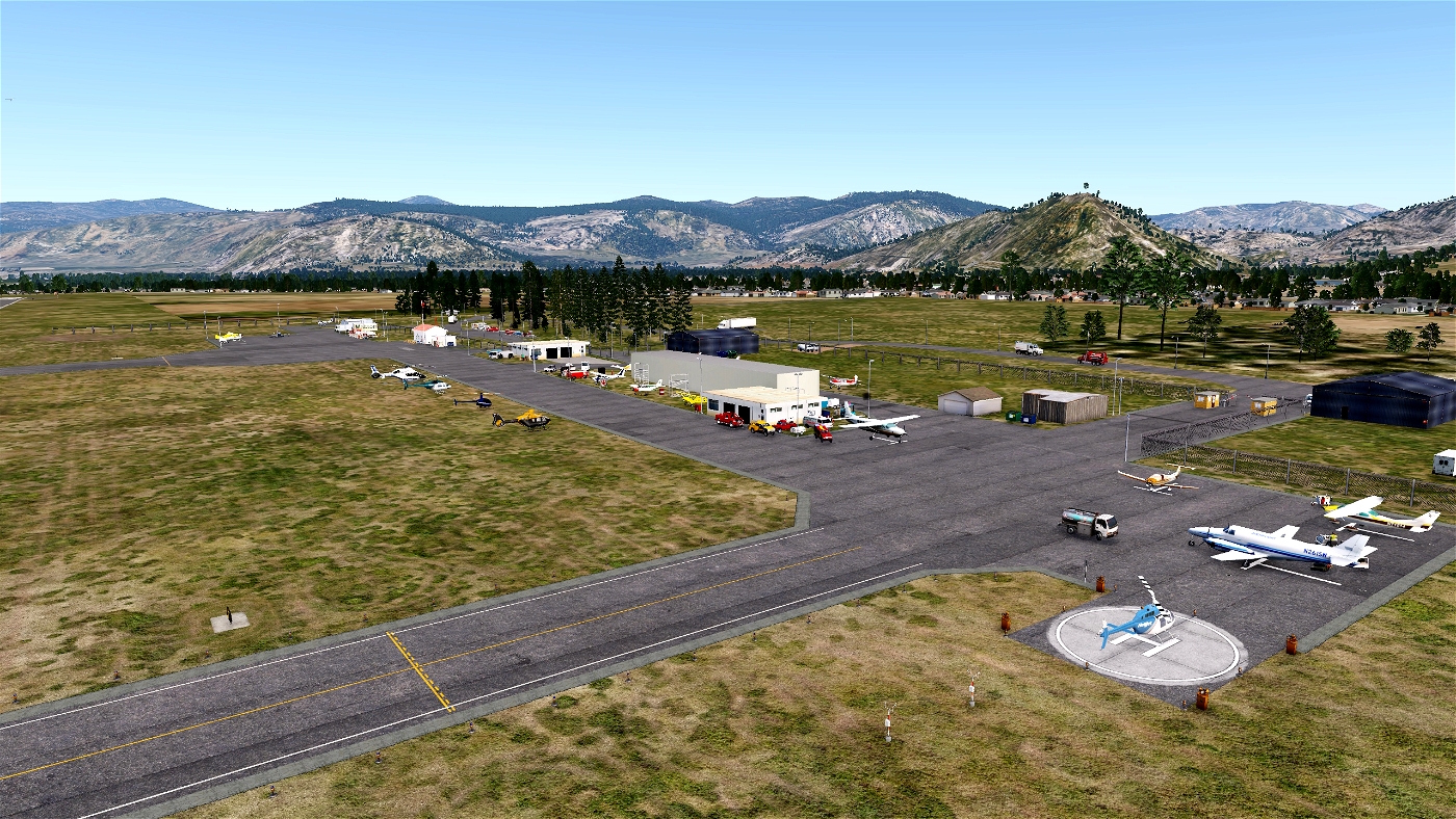
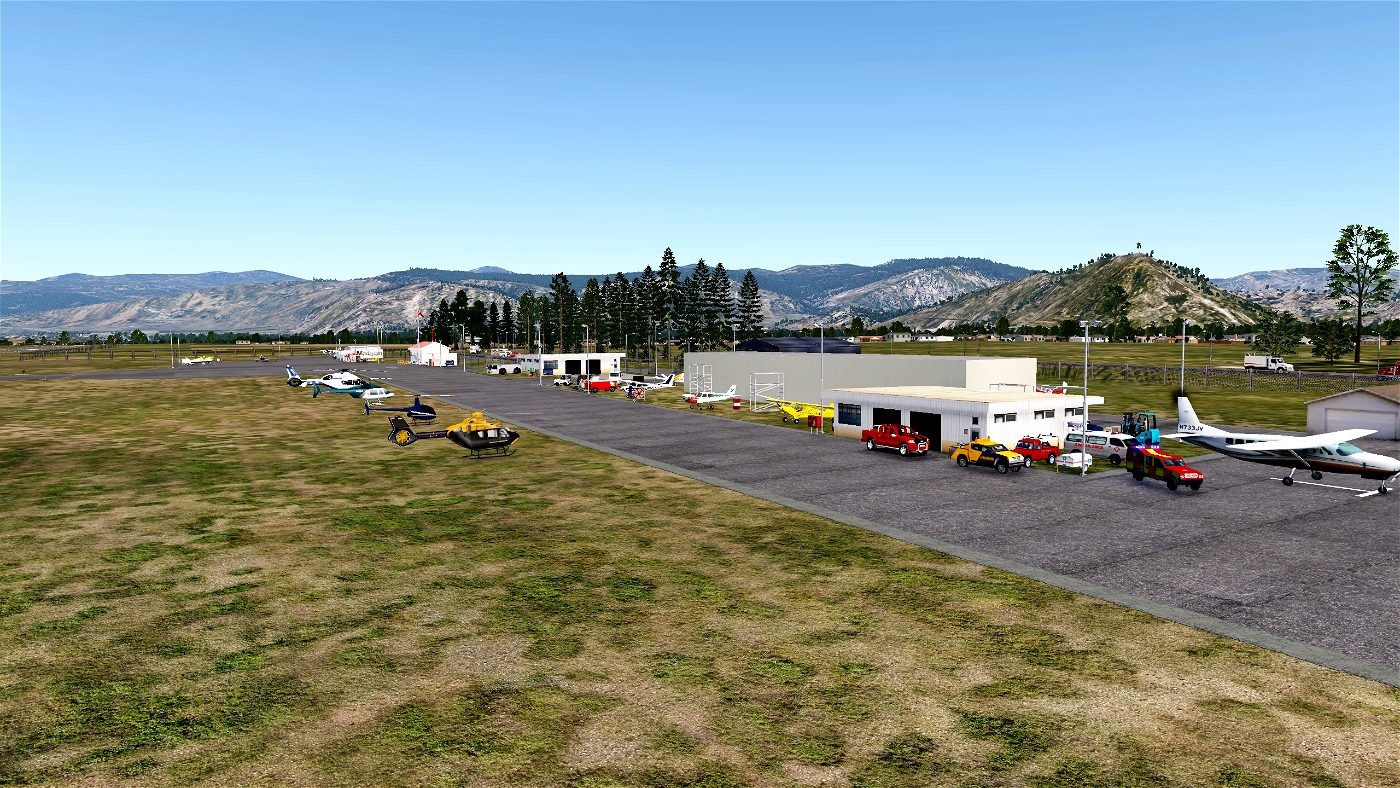
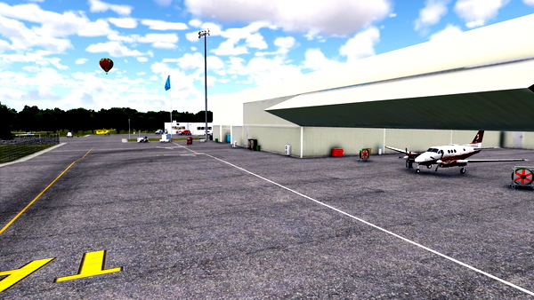
| Grand Forks Airport, (IATA: ZGF, ICAO: CZGF), is located 1 nautical mile (1.9 km; 1.2 mi) south southeast of Grand Forks, British Columbia, Canada.
Location Information for CZGF
Coordinates: N49°0.93' / W118°25.83'
View all Airports in British Columbia, Canada.
Elevation is 1724 feet MSL.
Magnetic Variation from 2013 is 16° East
Time Zone is UTC-8(7).
Runway 07/25
Dimensions: 4311 x 100 feet. Surface: asphalt Runway 07 Runway 25 Runway Heading: 074° 254° Glide Slope Indicator PAPI for aircraft with eye-to-wheel height up to 10 feet.
PAPI for aircraft with eye-to-wheel height up to 10 feet.
Nearby Airports with Instrument Procedures
ID Name Heading / Distance CYCG Castlegar/West Kootenay Regional Airport 045° 35.7 CYYF Penticton Airport 284° 53.3 KOMK Omak Airport 216° 54.4 CYLW Kelowna Airport 311° 67.6 KDEW Deer Park Airport 131° 74.6 CYVK Vernon Airport 318° 81.8 KSZT Sandpoint Airport 103° 85.9 KSKA Fairchild AFB Airport 143° 89.6 KGEG Spokane International Airport 140° 91.2 KSFF Felts Field Airport 134° 91.5 KCOE Coeur D'Alene - Pappy Boyington Field Airport 122° 98.5 CYXC Cranbrook/Canadian Rockies International Airport 053° 110.0
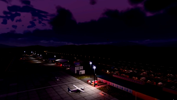
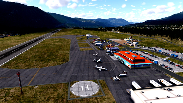
Includes: Reworked for XP12, XP12 3D trees, Animated vehicles, GA planes flying around and much more.
Installation: Download the zip file, unzip it and then copy the whole folder into your custom scenery folder in your main x-plane folder.
Requires the following libraries:
3d people library
BS2001 library
CDB library
FlyAGI Vegetation
Handyobjects
JB Library
Flags of the world
ff library
MisterX library
Openscenery
ruscenery
All available from http://forums.x-plane.org/index.php?/forums/topic/90776-master-list-of-libraries/
Version 1.0 - Reworked for XP12

NEH
Brilliant in every way, attention to detail is amazing