


 |
| Islamabad East
Islamabad East consists of two files.
One file is Islamabad east. This can be unpacked normally. The second file zOrtho4XP_+34+072 Mohallah Saadat Metha Khel Cham is an additional file. I think this is nice to have when between OPIS and OPPS.
The other parts are provided in separate downloads.
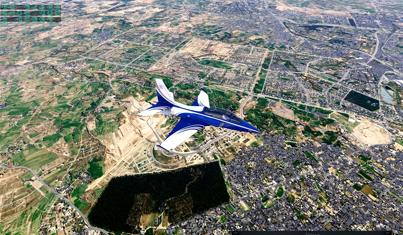
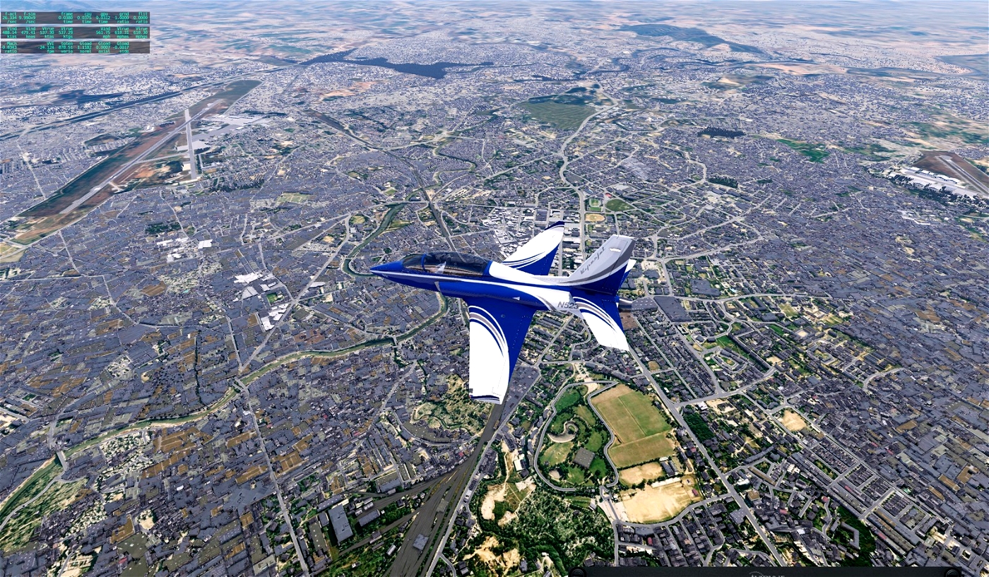
The basic resolution is ZL16 to somehow bring the file to the limit of max. 4 GB. However, around the airports this is higher ZL19/ZL18 and decreases with increasing distance. The approach lanes offer high resolution for a slightly longer time.
I highly recommend using Sim Heaven.
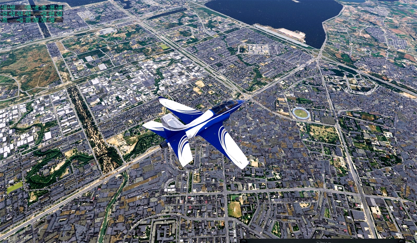
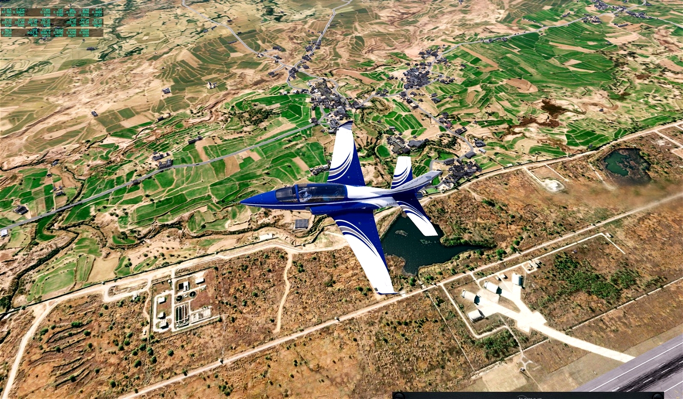
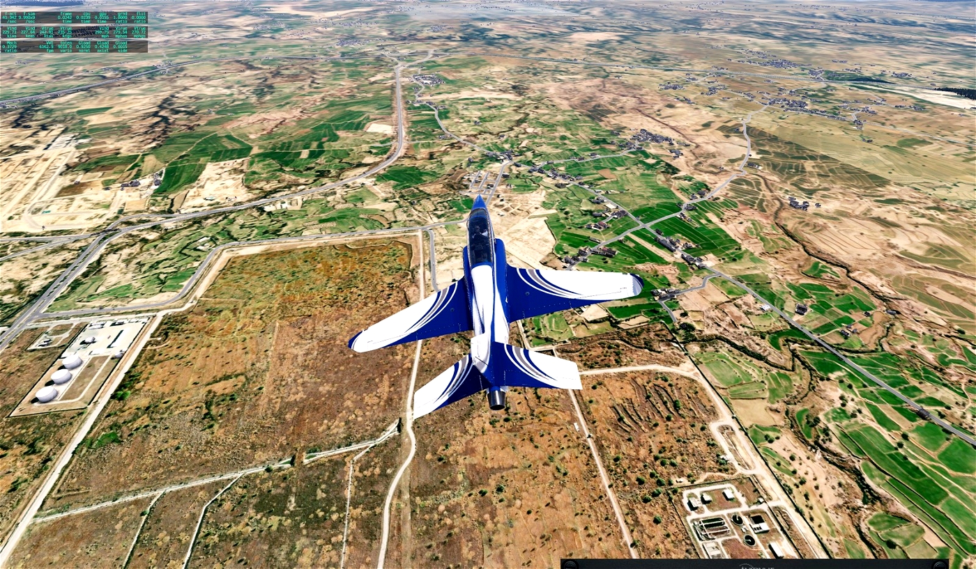
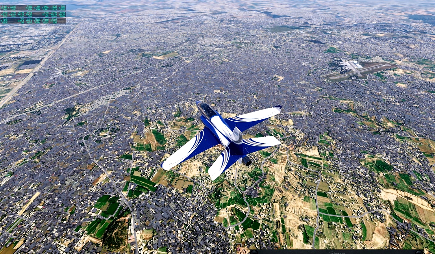
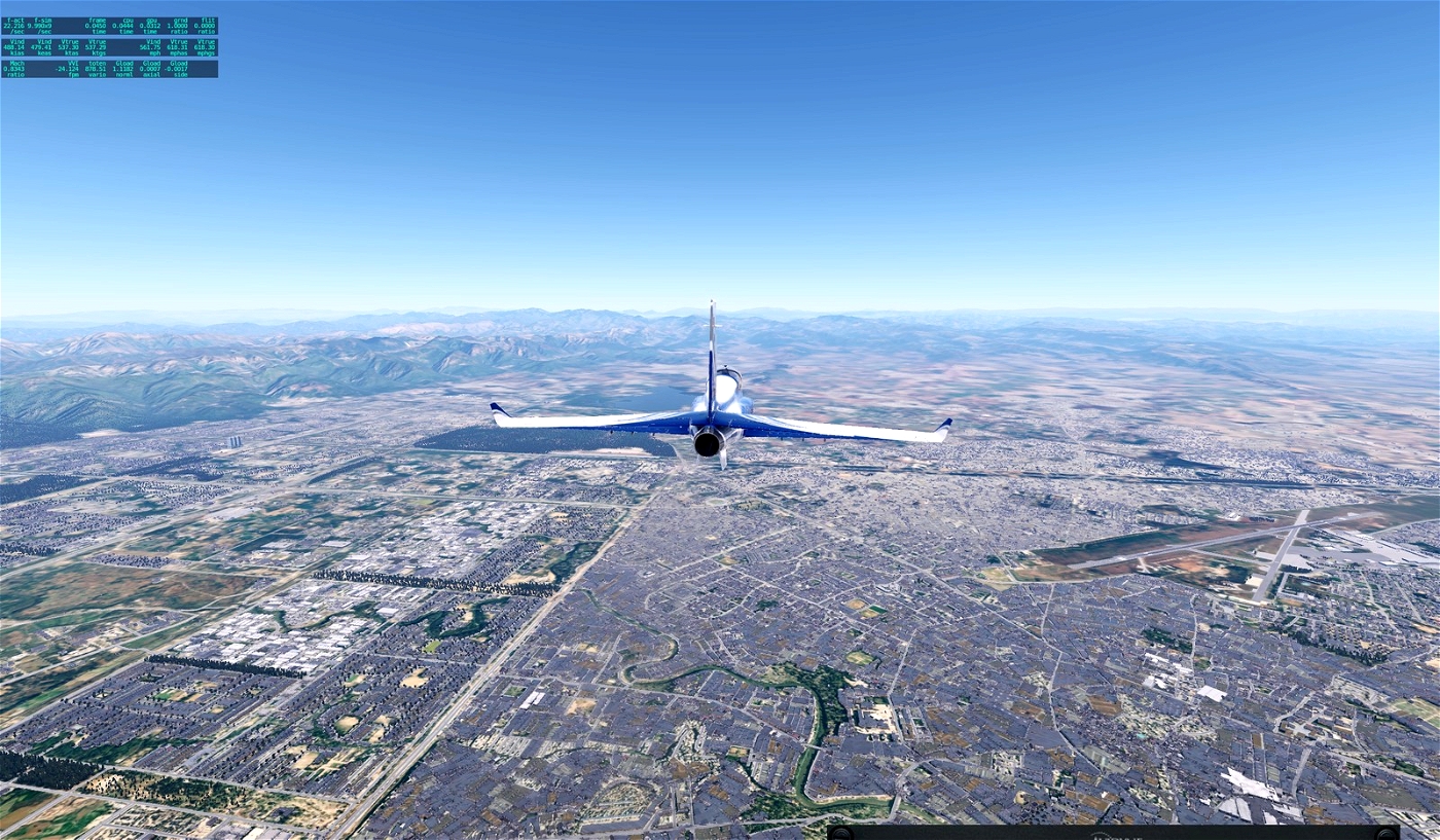
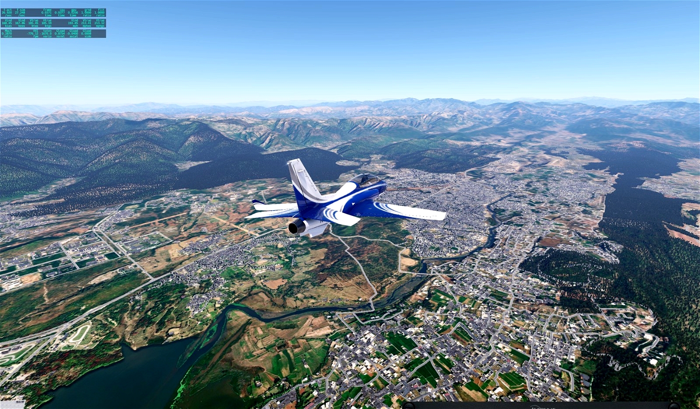
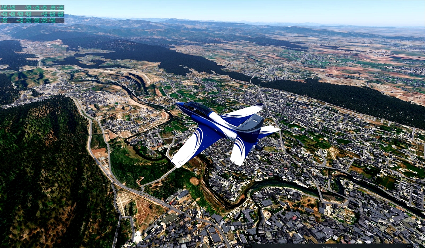
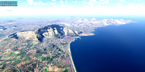
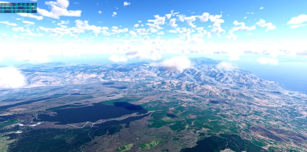
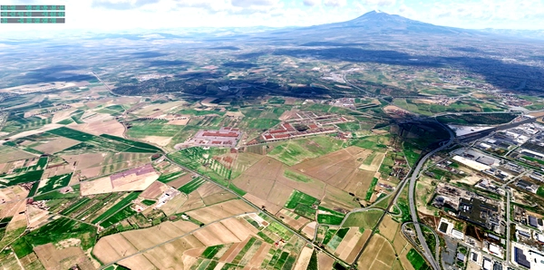
Of course, these files are not only for Umar, who specifically asked for orthos for this region, but for everyone who wants to discover the interesting landscape of Pakistan.
I used Ortho4XP and images from Arcgisonline.
Have fun!
If you make me happy, post a few pictures of your flight over Islamabad.
Gruß Andreas
P.S. Umar, I'm done. I wish you a lot of fun on your flight routes!


Umar_Wali34
Fantastic
Andreas1975 11 month(s) ago
Thank you Umar!